Or how many air quality measurement points do I need?
Annoying as it is, the answer is ‘it depends’. The list of factors which affects this not exhaustive but is based on our experience and we’ll try to be a bit more helpful afterwards.
- Size, location and topography of site
- Position and range of pollution sources and ‘receptors’ (such as communities or schools)
- Wind direction and strength
- Complexity of area being monitored, including multiple sources and street canyons
- Analysis capability
- Your budget!
Generally, the limiting factor will be budget. The clue is in the name with hyperlocal air quality monitoring, and pollution levels can vary hugely over short distances. NO measurements around streets, for example, are often significantly different from one side of the road to the other, particularly if there isn’t much wind and/or a street canyon effect. It is important to agree objectives and priorities in any city monitoring project, as it is simply not possible to meaningfully instrument the entire city, even with the biggest budgets. Even should budgets be effectively unlimited, the challenges of data management, quality assurance and interpretation get harder and harder the more nodes you have.
When monitoring air quality at the fence line at remote or industrial facilities, dilution of pollutants mixing with air around the site reduces the chance of a ‘spike’ being picked up from a plume, so generally the more measurement points that can be afforded, the higher the likelihood of detecting fugitive emissions, whether CO2, NOx, SO2, H2S, TVOC or particulate matter.
In either scenario, a hybrid network can help optimise the return on investment, so mixing a range of sensors with reference stations can help to fill gaps cost-effectively. The limiting factor with this is that any sensor used in the network has to provide comparable data. In theory a (very) low cost sensor could be used in high numbers to provide wide coverage, but if the cheap sensor does not have the necessary sensitivity (particularly when looking for low concentrations in a plume), data accuracy or comparability with other technologies (or even precision between themselves) in the network, there is a serious danger that project objectives will not be met and money will be wasted.
In our experience, the best way to achieve optimal coverage is the following recipe:
- At least one well-maintained reference station (if a reference station is not available, diffusion tubes/passive samplers can be used to good effect)
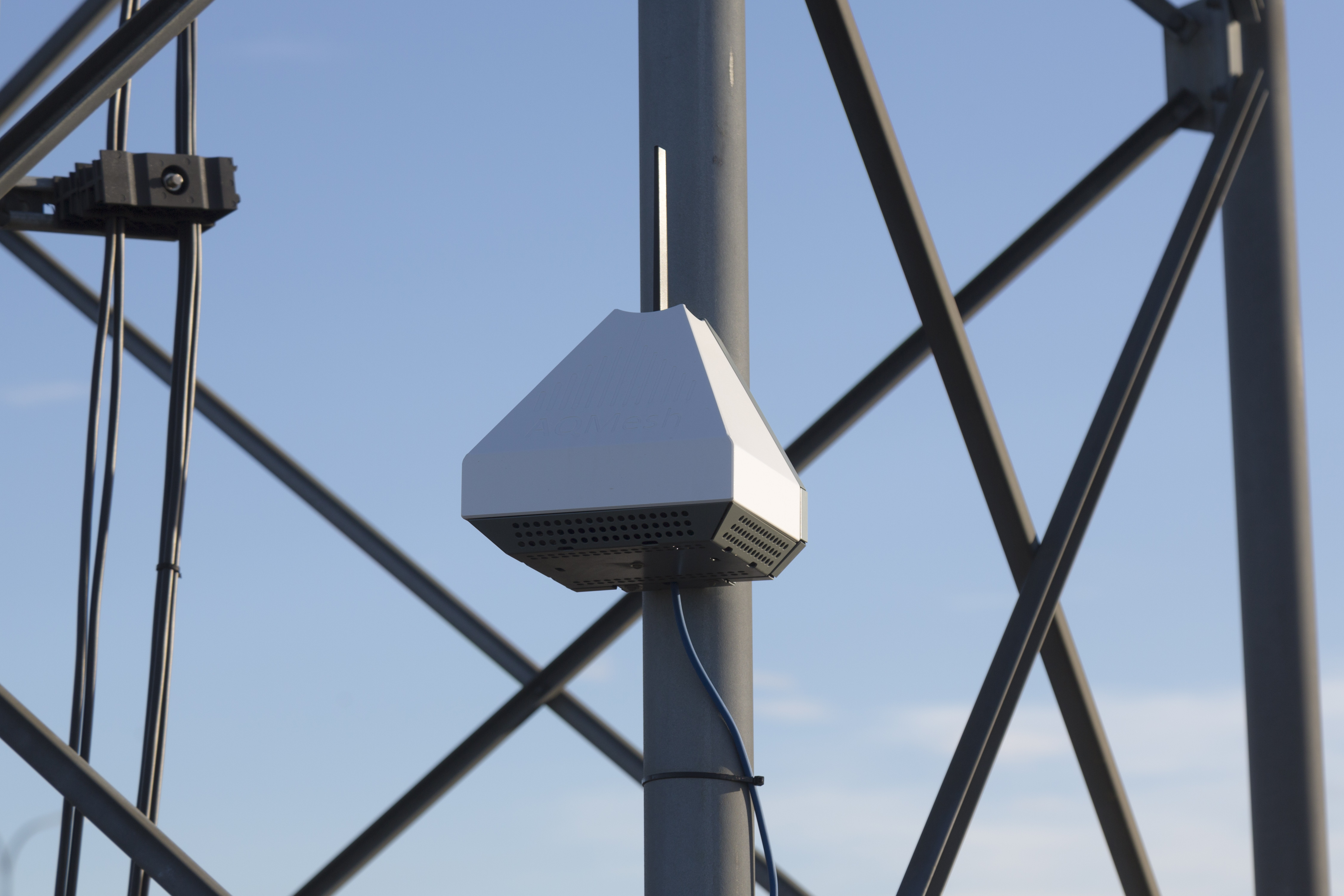
- As many good quality small sensor systems as you can afford
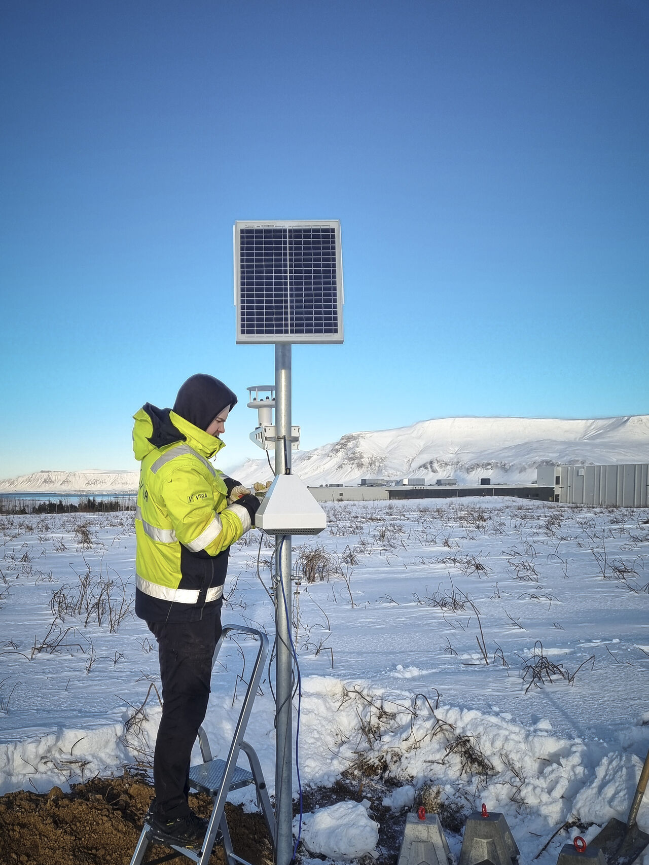
- Normally one wind speed and direction sensor per site (this may be more complex if the wind direction is obstructed by topography or buildings) or local wind data may be available
- Data analysis and quality assurance resource, with complete traceability
- Calibrate small sensors against reference
- Position small sensor systems precisely where required, free of infrastructure limitations, with autonomous power and communications
- Carry out analysis to identify sources and distinguish background from locally-generated pollution
- Stick to the sensor system manufacturer’s recommended maintenance procedures, however minimal, to ensure data reliability over the longer term
- Follow local and international advice on quality assurance of data
- Beware of big promises offered by AI – current local training of sensors comes with significant drawbacks
We are happy to provide more advice, dependent on your situation.